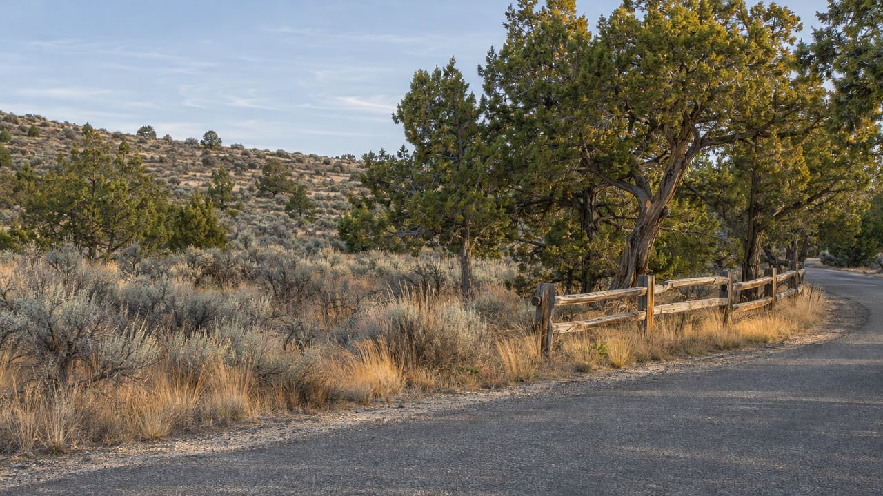
Crooked River Ranch has about 90 miles of road. Jefferson County maintains 11.4 of them. The Crooked River Ranch Special Road District and the Crooked River Ranch Club & Maintenance Association split the rest between them. That remainder is about 25.7 miles of paved road and 51.3 miles of gravel or native-surface road, according to the Road Management Plan the association's board approved as a draft on July 20, 2026. The same plan says the counties are unlikely to accept any more Ranch roads into the county system because of budget limits. That leaves the district and the association responsible for the remaining miles for the foreseeable future.
The gravel roads are close to the end of a long upgrade, and the open questions on the Ranch now sit with the paved roads.
Two Bills for the Same Road
A Ranch owner pays for roads in two ways. The first is the association assessment. The FY 2026–27 budget, adopted March 16, 2026, lists $1,639,280 in membership dues revenue, and that figure includes a $20 dues increase. Spread across roughly 2,644 lots, that comes to about $620 per lot for the fiscal year, though the budget doesn't print a per-lot figure. The Roads department is budgeted at $714,760 for FY 2026–27. That is about 18.7 percent of the association's $3,826,237 in operating expenses.
The second is property tax. Voters created the Special Road District in a 1982 election, with power to levy taxes on property within its boundaries, as the association's Road Primer explains. An association presentation dated April 3, 2026 says the district received about $288,008 in tax dollars from the Ranch in the prior fiscal year.
Each body handles different work. Under the July 2026 draft plan, the association maintains the native and gravel roads, does snow removal and sanding, and does limited crack sealing and pothole repair on paved roads within its budget. The district sets road standards and pays for capital work on paved roads, such as chip sealing, overlays and paving.
These figures are general information, not legal, tax or financial advice. Before you rely on any of them, confirm current assessments and tax bills for a specific parcel with the association, the county and your own advisors.
The Gravel Roads Are Near the End of a Long Push
In 2012 the association committed more money to its road department to upgrade native roads to gravel. The 2026 plan describes that project as "nearly complete." The Ranch has 122 gravel and native roads covering about 52 miles. During the 2025 season the road department graded and rolled 43.8 of those miles. It checked another 8.2 miles and found they either didn't need grading or didn't have enough material left to grade. Repeat passes brought the season total to 52.7 graded road-miles. Crews rebuilt 1.3 miles that season on Steelhead Falls, Crooked to Riffle, Business Circle, Bullhead and Badger to Ermine.
Gravel still has its usual wear pattern. The plan calls washboarding "a never-ending cycle." Hard braking and speed create it, and grading it out raises dust and lets people drive faster, which brings it back. A gravel frontage means dust and ruts that come back after grading, but the work on it follows a steady annual routine with a dedicated crew. The primer describes a four-person, full-time road department, with winter schedules adjusted to cover seven days a week.
The Paved Miles Carry the Uncertainty
With the gravel upgrades largely done, the association decided to move part of its road budget from gravel materials to crack sealing on paved roads during FY 2026–27, and to revisit that amount each year. In the April 2026 presentation, the association estimated paved-road mastic and crack-seal work at $54,100 a year, which works out to a $20 annual dues increase.
The same presentation set out road spending by each body over five fiscal years. These are the association's figures, drawn from its audited statements and from numbers supplied by the district treasurer.
| Fiscal year | Association road operating expenses | Special Road District expenses |
|---|---|---|
| FY 2021 | $507,890 | $10,290 |
| FY 2022 | $603,664 | $19,997 |
| FY 2023 | $621,982 | $95,270 |
| FY 2024 | $602,452 | $49,973 |
| FY 2025 | $637,513 | $1,017,960 |
The association also listed $692,674 in capital equipment costs over that span. Most of the district's FY 2025 spending matches one project. District minutes from March 2026 put the Quail Road overlay at $1,004,928, paid by the district.
At its September 14, 2026 meeting, the district heard that the overall pavement condition index had gone up slightly because of the Quail paving and several smaller projects, but that "the overall backlog has increased significantly due to a lack of pavement maintenance." Earlier in the year, the association had flagged three paved stretches as ready for resurfacing in 2026, with estimated costs: Rim Road chip seal at $35,200, Peninsula from Golden Mantle Road to Cinder at $63,360, and a grind and overlay on Meadow Road at $174,240. At its August 10 meeting, the district discussed getting bids for the Rim Road and Peninsula chip seals.
The two bodies also disagree over who pays for routine paved-road work. The August minutes record a $30,865 association invoice for crack-seal material and signs, which the district said it isn't responsible for under the current agreement. The minutes also say the association held off on crack sealing until the bill was paid. On September 14, the district board voted unanimously to take the Road Management Plan to arbitration. It also awarded Central Oregon Asphalt Sealing a crack-sealing contract of about $81,000, split into two projects. Those minutes were posted to the district's site on November 8. At that meeting the district reported $322,890 across its general fund and bank account.
The district has money, has resurfaced Quail Road, and has hired a crack-sealing contractor. Meanwhile the arrangement for maintaining the 25.7 paved miles is being worked out right now, while the gravel network runs on a plan the association has followed since 2012. For two otherwise similar lots, the gravel frontage may have the more predictable upkeep schedule for the next few years.
Winter Follows a Set Order
The Road Primer, dated January 12, 2022, lays out the Ranch's plowing sequence. After more than an inch of snow, crews clear bus stops, intersections and primary roads first, then secondary roads, then sand. Gravel roads aren't plowed unless snow is deeper than four inches and the ground is frozen enough that plowing won't strip rock or damage equipment. In storms over eight inches, bus routes and primary paved roads come first, then secondary collectors. A pickup plow handles cul-de-sacs, and dirt roads wait until paved roads are clear. The primer says nothing about plowing driveways, and the 2026 draft plan lists driveway maintenance as the property owner's job.
That gives every lot a place in line after a snowfall. A home on a primary paved route is near the front. A gravel cul-de-sac after a three-inch snowfall may not see a plow at all under the 2022 practice. For a full-time resident who commutes to Redmond or Bend, that difference matters more than a few hundred dollars on the list price. For a second-home owner who arrives on weekends, it decides whether the drive in needs chains or a call ahead to a neighbor.
Where the Market Numbers Stop Helping
The market data available for the Ranch doesn't separate it from the rest of Jefferson County. The Beacon Report figures cited by Barney's Bend Bugle on October 13, 2026 show a third-quarter 2026 median sale price of $375,000 for Jefferson County and Crooked River Ranch combined. That is down 3.8 percent from the third quarter of 2025, on 47 sales, up 17.5 percent. A countywide median puts a lot on Rim Road, a lot on a Quail Road branch and a gravel lot off Badger in the same pool. Road frontage is one of the clearest differences between them.
Outside the Ranch, Terrebonne parcels raise different questions. Deschutes County's Terrebonne Community Plan describes Terrebonne Domestic Water District wells serving the older Hillman Plat and Angus Acres area, private domestic wells elsewhere, and Central Oregon Irrigation District patrons along the Pilot Butte Canal. On that side, the useful questions are about water. For context on how water delivery separates otherwise similar acreage nearby, see our Tumalo irrigation piece, and for the wider area, our Terrebonne community page and acreage near Smith Rock.
Questions Buyers Raise About Ranch Roads
How do I find out who maintains the road in front of a lot? Jefferson County maintains 11.4 miles. For the rest, the 2026 draft plan refers to a road classification map, and the plan itself is posted on the association's website.
Did the 2026 resurfacing on Rim Road and Peninsula happen? The August 10 district minutes record a discussion about getting bids. For the current status of a specific road, ask the district directly or check its posted minutes before you make an offer.
On the Ranch, which road a lot sits on and who maintains it belong in the price conversation alongside acreage and views. If you're weighing a lot on Crooked River Ranch against acreage elsewhere near Terrebonne, Heather Osgood can walk the road with you, help you pull the association and district records for that stretch, and talk through how it should factor into your offer. Let's Connect.